Revolutionize Your Tracking Experience – Real Time, Reliable & Effortless tracking solutions
+91-9828923444
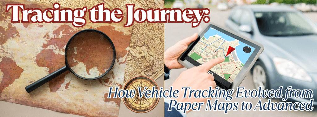
The Evolution of Vehicle Tracking Systems: From Maps to Machines
Vehicle tracking has evolved from traditional maps and manual logs to advanced GPS and telematics solutions. This blog explores the detailed history of vehicle tracking systems, highlights the types of GPS technology, and explains how modern solutions are shaping the future of fleet management.
Chandra SIngh
4/1/20254 min read

The Evolution of Vehicle Tracking Systems: A Detailed History
The journey of vehicle tracking is a fascinating story of technological advancements. From manual tracking methods to sophisticated AI-powered systems, each stage in the evolution has contributed to the efficiency and accuracy of fleet management today.
1. The Early Days: Manual Tracking and Paper Maps
Before the advent of digital solutions, tracking vehicles was a labor-intensive task reliant on traditional tools and human effort. Fleet managers had limited control and visibility, leading to inefficiencies and potential risks.
Paper Maps and Route Planning: Drivers received paper maps with predefined routes, requiring them to navigate manually. This method lacked real-time updates, making it difficult to manage route deviations or unexpected changes.
Manual Logs and Trip Sheets: Drivers recorded trip details, fuel consumption, and distance traveled manually. This was time-consuming and prone to errors.
Radio Communication for Updates: Fleet operators used two-way radios for location updates. However, this system was unreliable due to limited range and frequent signal issues.
2. The Birth of GPS Technology: A Revolutionary Shift
The invention of GPS (Global Positioning System) revolutionized the world of navigation and vehicle tracking. Developed by the U.S. Department of Defense in the 1970s, GPS became available for civilian use in the 1980s, changing the game for fleet management.
What is GPS Technology?
GPS technology relies on a network of satellites that transmit signals to GPS receivers on Earth. By calculating the time taken for signals to travel from satellites to the receiver, GPS can determine precise location coordinates.
3. Types of GPS Technology: A Comprehensive Overview
Over the years, GPS technology has evolved to meet diverse tracking needs. The most common types of GPS technologies are:
Standard GPS (GNSS):
Utilizes 24-32 satellites for accurate positioning.
Provides an accuracy range of 5 to 10 meters under ideal conditions.
Used in general navigation, vehicle tracking, and consumer applications.
A-GPS (Assisted GPS):
Enhances GPS by using cellular network data to improve the speed and accuracy of location fixes.
Ideal for urban areas with poor satellite visibility.
Commonly used in smartphones and IoT devices.
DGPS (Differential GPS):
Improves accuracy by using ground-based reference stations to provide real-time corrections.
Achieves positioning accuracy within 1 to 3 meters.
Used in applications requiring higher precision, such as agriculture, surveying, and marine navigation.
RTK (Real-Time Kinematic GPS):
Provides centimeter-level accuracy by using real-time corrections from a fixed reference station.
Used in precision farming, construction, autonomous vehicles, and drones.
Corrects for errors caused by atmospheric conditions and satellite orbit deviations.
Pseudolite (Pseudo-Satellite) GPS:
Ground-based transmitters mimic satellite signals, enabling GPS-like functionality indoors or in GPS-denied environments.
Used in mines, tunnels, and indoor applications.
IoT-Enabled GPS Trackers:
Combine GPS technology with Internet of Things (IoT) connectivity.
Offer advanced features like geofencing, real-time tracking, and telemetry data.
Commonly used in fleet management and asset tracking.
Challenges in GPS TechnologyDespite its accuracy and reliability, GPS technology faces certain limitations:
Signal Interference:
GPS signals can be affected by tall buildings, dense forests, tunnels, and underground locations.
Weather conditions and electromagnetic interference can impact performance.
Multipath Errors:
Occurs when signals reflect off surfaces like buildings and mountains before reaching the receiver, causing errors in positioning.
Signal Jamming and Spoofing:
GPS signals can be intentionally disrupted through jamming or spoofing attacks, posing security threats.
Dependency on Satellite Visibility:
Fewer visible satellites lead to reduced accuracy, especially in urban canyons or mountainous areas.
4. The Emergence of Telematics: Intelligent Fleet Management
The 2000s saw the rise of telematics, integrating GPS with telecommunications for a more comprehensive approach to vehicle tracking. Telematics solutions provided advanced insights into vehicle performance, driver behavior, and fleet optimization.
Vehicle Tracking & Route Optimization: Real-time tracking, route planning, and geofencing capabilities enabled efficient route management.
Driver Behavior Monitoring: Telematics analyzed driver behavior, identifying instances of harsh braking, acceleration, and speeding.
Maintenance and Diagnostics: OBD (On-Board Diagnostics) data helped monitor engine health, fault codes, and maintenance requirements.
Advancements in GPS Technology: The Future is HereIntegration with AI and Machine Learning:
AI algorithms analyze GPS data for predictive insights, route optimization, and behavior monitoring.
Enables smart decision-making for fleet management.
Enhanced Security Measures:
Anti-jamming and anti-spoofing measures ensure signal integrity and security.
Military and critical applications leverage advanced encryption.
High-Precision Applications with RTK and DGPS:
High-accuracy solutions are transforming precision agriculture, autonomous vehicles, and robotics.
Satellite-Based Augmentation Systems (SBAS):
Systems like WAAS, EGNOS, and GAGAN provide additional accuracy and integrity monitoring.
Used in aviation, maritime, and surveying applications.
Multi-Constellation GNSS:
Combining multiple satellite constellations like GPS, GLONASS, Galileo, and BeiDou for increased reliability and accuracy.
5. AI and IoT: The Future of Vehicle Tracking
The integration of AI and IoT in modern vehicle tracking systems has transformed the fleet management landscape:
Predictive Maintenance and Diagnostics: AI algorithms predict maintenance needs, reducing downtime and repair costs.
Driver Safety and Behavior Analysis: AI detects unsafe driving habits and provides real-time coaching.
Automated Fleet Management: AI automates route planning, scheduling, and fuel optimization.
Edge Computing for Real-Time Decisions: Edge computing processes data on the device, enabling instant decisions and reducing latency.
6. Advanced Fleet Management Features of Today
Modern vehicle tracking systems offer a range of advanced features, including:
Vehicle document management with automated reminders for insurance, RC, road tax, and more.
Real-time vehicle status monitoring: Under Maintenance, In Use, Available.
Driver assignment, tracking, and document management.
Geofencing for entry/exit monitoring.
Fuel and AdBlue tracking, expense management, and tyre management.
Dashcam and unloading camera integration.
FASTag expense monitoring and comprehensive expense reports.
Vehicle maintenance reminders and service history.
Tyre management with detailed records on each tyre’s position, serial number, and condition.
Conclusion: The Road Ahead for Vehicle Tracking
The evolution of vehicle tracking is a journey of continuous innovation. From humble beginnings with manual tracking to AI-driven solutions, the technology has redefined how fleets operate. The future promises even smarter, more autonomous solutions, pushing the boundaries of what’s possible on the road.
🚀 Transform Your Fleet with Alite GPS Trackers Experience the future of fleet management with Alite GPS Trackers, delivering real-time visibility, control, and intelligence for your fleet.
👉 Get in touch for a personalized demo! 📞 Toll-Free: 7665666631 📧 Email: sales@alitegps.com
Empowering Your Journey with Smart Tracking!
Fleet or Personal, We Track It All – Get in Touch
support@alitegps.com
Srag India Info Solutions © 2025. All rights reserved.
Info@alitegps.com